Tag: blue marble

How to “bluemarbelize” Google Maps?

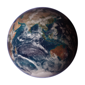
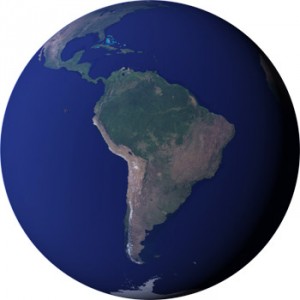
Introduction Google Maps and Google Earth (hereafter Google Maps) are publicly available tools useful to visually explore the geography of our planet. Globally distributed high resolution satellite data are used as a background to dynamically map physical, geographical, historical, socio-economic or political thematic layers. Nowadays the average, educated person with access to the internet either …

Continue reading

Blue Marble images on the IPCC 4th assessment report (2007)

The Blue Marble western and eastern hemispheres by Reto Stöckli (NASA Earth Observatory) are displayed to the left as printed on the front cover of the IPCC (Intergovernmental Panel on Climate Change) 4th assessment WGI report “The Physical Science Basis”.   These images integrate land, ocean, sea ice and clouds into a visual representation of …

Continue reading

Blue Marble Next Generation

The Blue Marble Next Generation (BMNG, 2005) is a cloud-free global satellite data set offering great spatial detail. It spans a longer data collection period than the original Blue Marble from 2000 and 2002. The original Blue Marble was a composite of four months of MODIS observations with a spatial resolution (level of detail) of …

Continue reading

Blue Marble Next Generation Monthly Composites

A monthly collection of earth close-up images Click on the respectiv images to get larger versions. January 2004 Kenya February 2004 Lake Etosha March 2004 Sahara Desert April 2004 The Alps May 2004 The Himalayas June 2004 The Andes July 2004 Salt Lake City August 2004 Eastern Greenland September 2004 Patagonia October 2004 The Okawango Delta November 2004 Indonesian Islands December 2004 The Bahamas

Earth Cam (rendered with the Blue Marble 2002 Textures)