Tag: NDVI

The European Fourier-adjusted and Interpolated NDVI (EFAI NDVI)

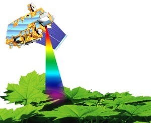
The EFAI NDVI is a high resolution land surface parameter dataset for climate modeling and mesoscale weather simulations. It was derived from the 20 year long NASA/NOAA AVHRR Pathfinder NDVI dataset, which is available in 10 day temporal and 0.1 degree spatial resolution for global area coverage. The variability of vegetation state and function motivates …

Continue reading

The European Fourier-Adjusted and Interpolated Normalized Difference Vegetation Index (EFAI NDVI)

NDVI Measurements with Simple Radiometric and photographic Methods

A remote sensing tutorial for teachers and students In July 2003 our institute IACETH (Insitute for Atmospheric and Climate Science, ETH Zurich) offered a field course on hydrology and climate science taking place in our research catchment “Rietholzbach”. In this course I teached students how to measure the surface radiation balance using pyrano- and pyrgeometers. …

Continue reading